2021 Three Sonde Sites
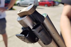
In May 2021 the NWQIS department of the Environment Agency kindly loaned the CHASM project an EXO2 Sonde data logger to measure a number of sea water parameters. The aim was to start finding out what is happening in the waters of Bracklesham Bay where the lobster decline was first noticed.
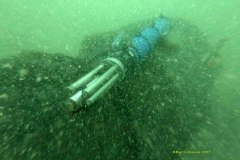
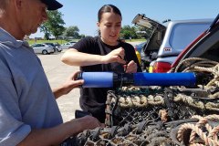
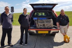
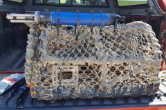
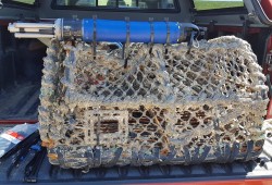
To ensure the sonde units would stay in place but without attaching them to the seabed, they were attached to lobster pots weighed down using leaded rope. Huge thanks go to the fishermen of Selsey Bill who came to our aid when lobster pots and rope were needed.
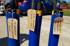
The sonde units were all deployed very near known wreck sites on the coast of the Manhood Peninsula. This was to ensure that could be easily found after six to twelve weeks in the potentially sediment clouded sea water of the Peninsula coast. The sites concerned were the A1 submarine, a historic protected wreck in Bracklesham Bay (CHASM is fortunate in having the license holder as part of our core team); the Landing Craft outside Medmerry; and the Inner Mulberry outside Pagham Harbour.
The first unit was deployed on 26 May 2021. After a few weeks it was time to put in a replacement to ensure the battery didn’t run out and bring the original sonde ashore. At the same time another two data loggers were deployed at Medmerry and Pagham thanks to finance received from East Wittering & Bracklesham, and West Wittering Parish Councils. The replacement unit and the two new units were installed on 17 July 2021, and all three retrieved after a further eight weeks on 16 September. In total data on temperature, conductivity, dissolved oxygen, turbidity and chlorophyll was gathered for three and a half months over the summer.
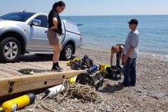
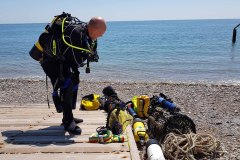
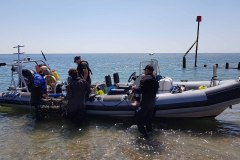
The data loggers were put in place by volunteer divers from Southsea SAC and Mulberry ME. Although their main remit is recreational diving, the divers work to the HSE Approved Codes of Practise for Scientific and Archaeology Diving Projects to ensure best practice is followed.
Follow this link to data from the three sonde data loggers in 2021
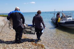
The photos below show the sequence of events from attaching one of the sondes firmly to a lobster pot, to taking the whole rig out to the dive boat, and the very murky water in Bracklesham Bay after one particularly windy, rainy week in May 2021.
Three sonde sites initial observations
Initial observations on the 6 weeks of data from the Landing Craft (Medmerry) and Inner Mulberry (Pagham) sites, and the 12 weeks of data from the A1 submarine site (Bracklesham Bay). A1 SUBMARINE SITE: Location – south east of Chichester Harbour entrance This site has the biggest diurnal in temperature and this is also reflected in the diurnalling dissolved oxygen (DO). The... Continue Reading »
